
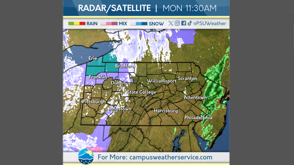
Wintry Mess Across the Commonwealth
Autumn held strong this weekend, with Saturday staying relatively mild and precipitation-free across the Commonwealth. Unsettled conditions appeared once again in conjunction with a cutoff low pressure system on Sunday, with periods of rain occurring after midday in some areas.
Our low has settled in to our west, and conditions have become more winter-like. Flurries originating from lake-effect snow showers have been noted across the western half of the Commonwealth this morning, accompanied by a breeze. The Erie region, along with the highest elevations, can expect some accumulation and perhaps some travel troubles. However, most will not see anything stick.
Tuesday will be very similar as our low lingers, with sub-40s daily high temperatures and a cold breeze alongside occasional weak snow showers. Wednesday will be more mild as the low exits, though a breeze will remain along with mostly cloudy skies. Much more pleasant conditions can be expected past then, with skies clearing and mild temperatures setting back in.



