
CWS Forecast: Huntingdon County
A somewhat active pattern is expected for the Commonwealth this week. Scattered thunderstorms are possible on Monday, especially in the evening and overnight. Widespread thunderstorms are likely on Tuesday associated with an unseasonably strong low pressure system. Damaging winds are possible with stronger storms on both days. Thunderstorms remain possible on Wednesday, while Thursday should be a bit drier. Unseasonably cool for most of the week before a warmup starts on Friday. Increasing clouds into the weekend as another storm system moves in and thunderstorm chances return.
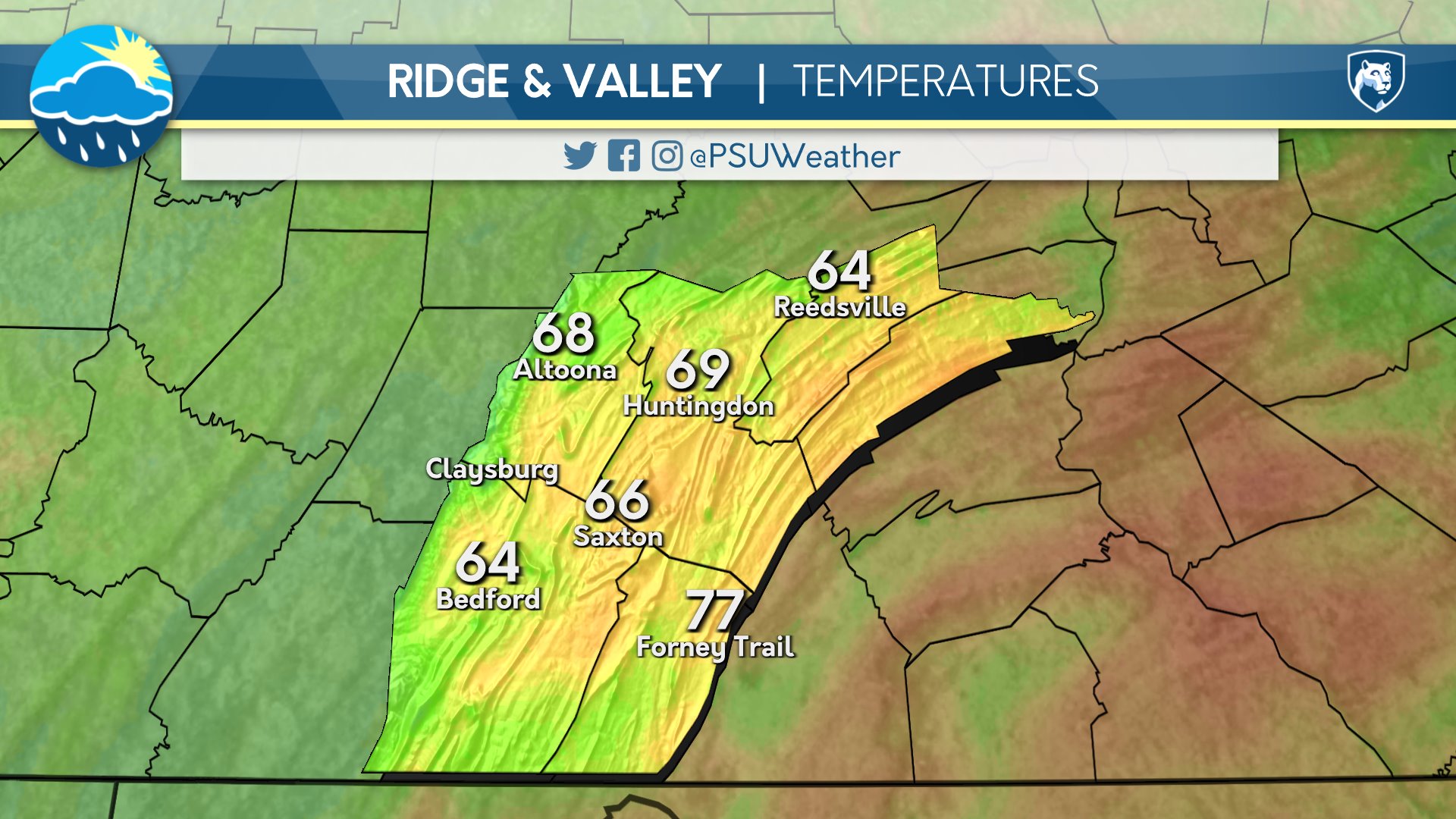
Day One: Tuesday, July 28th 2026


Mostly cloudy and humid with rain and thunderstorms, particularly from late morning through evening. Mostly cloudy conditions with lingering showers persist overnight.
High: 78°F
Low: 65°F
Day Two: Wednesday, July 29th 2026


Mostly cloudy with below average temperatures and potential for an isolated, brief rain shower. Becoming partly cloudy overnight.
High: 75°F
Low: 62°F
Day Three: Thursday, July 30th 2026


Partly cloudy and remaining a touch below average. Mostly clear overnight.
High: 80°F
Low: 58°F
Day Four: Friday, July 31st 2026

Temperatures return to average with mostly sunny skies. Some high clouds move in overnight.
High: 81°F
Low: 61°F
Day Five: Saturday, August 1st 2026

Mostly cloudy aside from a few breaks of sun early with average temperatures. Becoming overcast by sunset.
High: 82°F
Low: 64°F

