Campus Weather Service State College
An upper-level low will bring some chillier conditions for western PA going into the weekend. On Friday night into Saturday, we can expect to see showers across the north and northwest portions of the state, perhaps stretching into central PA. That storm system has potential for some snowflakes at higher elevations and along the Allegheny Mountains. Some above-average temperatures and partly cloudy skies to begin the work week with fair conditions continuing into Wednesday. Some chillier weather returns late next week after Wednesday, possibly falling well below-average, with uncertain chances for showers.

Day One: Friday, November 6th 2026
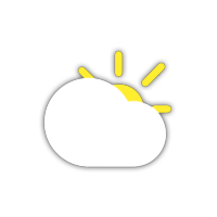

Mostly cloudy skies during the day with above average temperatures. Partly cloudy skies overnight.
High: 66°F
Low: 36°F
Day Two: Saturday, November 7th 2026
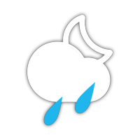
More clouds than sun during the day with scattered showers in the evening. Mostly cloudy skies overnight.
High: 50°F
Low: 41°F
Day Three: Sunday, November 8th 2026
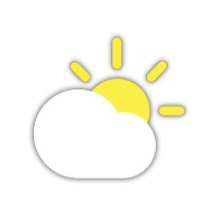
Partly cloudy skies during the day with average temperatures. Remaining partly cloudy overnight.
High: 55°F
Low: 42°F
Day Four: Monday, November 9th 2026
Partly cloudy during the day. Mostly cloudy skies remaining overnight.
High: 55°F
Low: 40°F
Day Five: Tuesday, November 10th 2026
Partly cloudy skies during the day. Partly cloudy skies continuing overnight.
High: 60°F
Low: 39°F
Day Six: Wednesday, November 11th 2026
Partly cloudy skies during the day. Mostly cloudy skies overnight.
High: 57°F
Low: 34°F
Day Seven: Thursday, November 12th 2026
Mostly cloudy skies during the day. Remaining mostly cloudy overnight.
High: 47°F
Low: 32°F