
CWS Forecast: Ridge and Valley Region
Throughout the of middle of this week, temperatures across Pennsylvania will be much below the seasonal average, with clouds dominating the skies for much of the state. On Wednesday, the skies will remain cloudy, but temperatures will start to rise throughout the day to be more aligned with the seasonal average. Looking towards Thursday and Friday, there will be cloud clearing across a majority of the state as the temperatures continue to rise to match the seasonal average. As we head into the weekend, a large storm brewing off the East Coast will bring heavy rain and a possibility of flooding for eastern P. The central and western areas of the Commonwealth will likely experience some lingering showers as the system moves across the state.
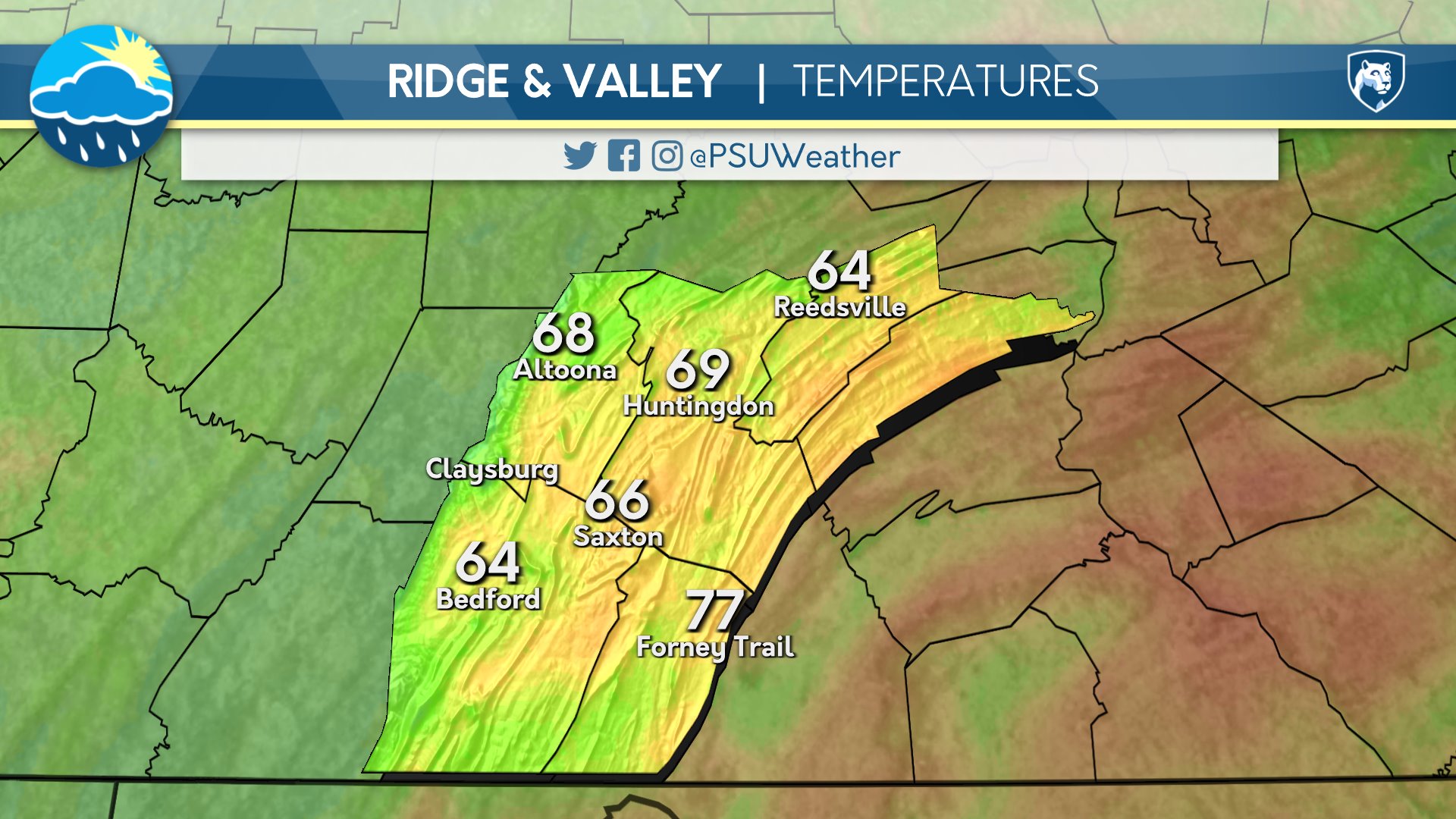
Day One: Tuesday, September 22nd 2026

A primarily overcast day. Overnight, a few clouds with cooler than average temperatures.
High: 61°F
Low: 44°F
Day Two: Wednesday, September 23rd 2026

A cool and partly cloudy day will give way to a significantly cooler and clear evening.
High: 63°F
Low: 42°F
Day Three: Thursday, September 24th 2026

A primarily clear and warm day will become chilly in the evening.
High: 69°F
Low: 46°F
Day Four: Friday, September 25th 2026
Sunny with a few afternoon clouds. Warm and breezy. A few clouds and cool overnight.
High: 71°F
Low: 50°F
Day Five: Saturday, September 26th 2026

Mostly sunny conditions and cool. Partly cloudy at night.
High: 67°F
Low: 52°F

