
CWS Forecast: Pittsburgh Metro
The past couple of days have seen considerable rain and cooling across the commonwealth, with Tuesday high temperatures falling well below average. Wednesday will be dry with cloudy conditions dominating across the southern portion of the state, and highs in the low 60s. Much of the same is likely on Thursday, with overcast skies expected across most of the Commonwealth. Clearer skies are expected on Friday, except across the Eastern portions of the state, where high clouds are expected to linger throughout the day. On Saturday, conditions will depend on the location of a strong low pressure system expected to affect portions of New England; Current trends indicate that Pennsylvania will remain dry, but expect overcast skies and below average high temperatures to dominate the Eastern regions of the state Saturday afternoon through Sunday evening. Early next week, high pressure is expected to return to the region, bringing much warmer and drier conditions.

Day One: Wednesday, September 23rd 2026
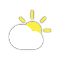
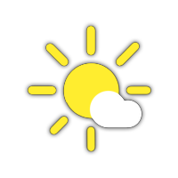
Clouds and Sun.
High: 63°F
Low: 50°F
Day Two: Thursday, September 24th 2026
Mostly clear, sunny skies throughout the day with some clouds early morning.
High: 63°F
Low: 46°F
Day Three: Friday, September 25th 2026

Clear skies throughout the day with temperatures dropping in the late evening.
High: 68°F
Low: 48°F
Day Four: Saturday, September 26th 2026


Sunny conditions persist throughout the day with clouds in the evening.
High: 69°F
Low: 50°F
Day Five: Sunday, September 27th 2026

Mostly sunny early in the day with overcast skies in the late afternoon and into the evening.
High: 71°F
Low: 52°F

